By integrating remote sensing and conventional technologies, researchers of the International Centre on Space Technologies for Natural and Cultural Heritage (HIST) have recently discovered five ancient city ruins on an important section, from Guazhou (Anxi) to Shazhou (Dunhuang), along the Silk Road. Currently investigation into their scales and forms is underway.
It has been the most fruitful archeological study in a single survey along the Hexi Corridor of Gansu Province. Other findings included 13 housing ruins of two villages, one section of an ancient canal, traces of an ancient road, and one ancient kiln site. A preliminary study shows the city remains belong to Han to Wei and Jin dynasties (202 BC – 581 AD).
The discoveries were made by "using a variety of data and information, ranging from remote sensing images, historic records to archeological surveys, and by integrating space technologies and field works", says Prof. WANG Xinyuan, a HIST scientist from the CAS Institute of Remote Sensing and Digital Earth (RADI).
Remote sensing technology has an advantage for archeological prospecting in the Guazhou-Shazhou Section on the Silk Road where hardly any surface disturbance could be caused in a desolate Gobi desert, according to Prof. Wang.
The discoveries were made on the basis of the prejudgment of potential sites mainly using medium-high resolution satellites data, historic records and GIS-based analysis. “These are only laboratory work”, says Prof. Wang. Then scientists will make precise identification of their locations with GPS and a team of scientists and archeologists will make a field work for investigation and verification.
Remote sensing techniques in archaeology are an increasingly important component of the technical and methodological tool set available in archaeological research. The use of remote sensing technology offers the archeologist the opportunity to detect these impacts which are often invisible to the naked eye. And micro remote-sensing technique allows non-destructive archeological studies of historical site without any digging. Remote Sensing methods employed in the service of archaeological investigations include aerial photography (sensors, scanners, and radars) and satellite images. The technology has played an important role in the archeological surveys of Angkor Wat in Cambodia, pyramids in Egypt and the Mausoleum of the First Qin Emperor in China.
HIST, hosted by the CAS Institute of Remote Sensing and Digital Earth (RADI), is a category-II centre under the auspices of UNESCO. It is the world’s first UNESCO institution for world legacy research by using space technology. Being formally open on 24 July, 2011, it is the first UNESCO centre applying space technologies to the monitoring and conservation of world natural and cultural heritage sites.
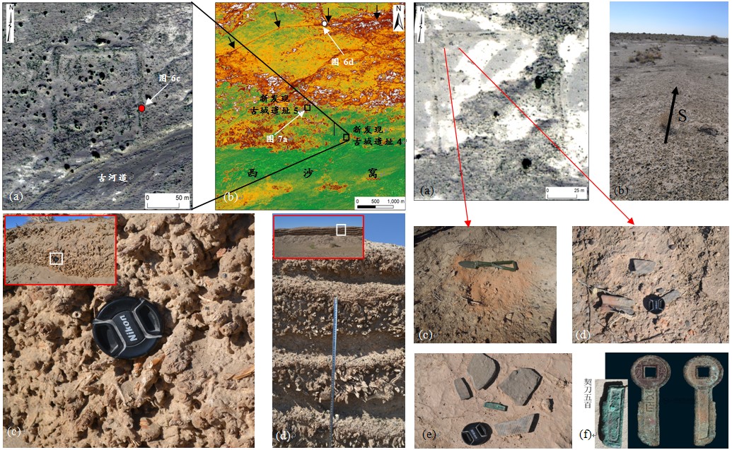
New findings of ancient city ruins and surface remains.
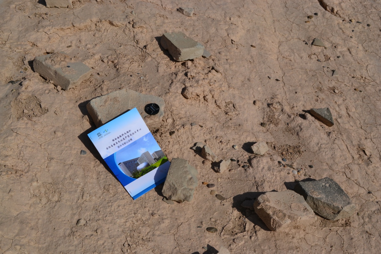
Ancient brick fragments.