System for Satellite-Aircraft-Ground Comprehensive Quantitative Remote Sensing and Its Applications
To meet the demand for the global monitoring of resources and environment, the research is carried out on key technologies, such as satellite-aircraft-ground collaborative observations and the satellite network, quantitative multi-scale spatial and temporal remote sensing data processing, comprehensive quantitative remote sensing products and authenticity test to establish satellite-aircraft-ground integrated quantitative remote sensing application systems, and provide technical support for the operation and service of global resource and environmental remote sensing information.
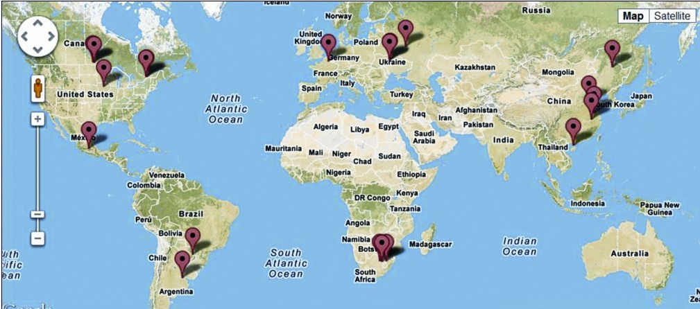
Distribution of JECAM stations in the project on key technologies for worldwide, quantitativemonitoring of staple crops.