Between July 15 and August 10, RADI completed its integrated research on full-wave band and multi-scale remote sensing mechanism of remote sensing airplanes. In the test, simultaneous observation flights of 2 airplanes in a single test zone has been achieved for the first time, verifying the full-wave remote sensing integrated test capability of simultaneous operation of multiple sensors. Currently, the researchers are making further processing on the acquired test data.
The test was conducted at the remote sensing test station in Huailai County of Hebei Province and an optical remote sensing airplane and a microwave remote sensing airplane were put into operation, of which the optical remote sensing airplane carries Lidar and thermal infrared remote sensor and the microwave remote sensing airplane carries C-band radar, P-band radar and L-band radar, and a total of 11 flights have been carried out.
It is a key test of the “Integrated Remote Sensing Observation and Modeling for Earth System Process”, a major scientific program independently deployed by the State Key Laboratory of Remote Sensing Science. The test is mainly conducted to support major scientific researches on remote sensing radiation transfer mechanism and modeling, multi-source remote sensing synergic inversion and authenticity test as well as application of remote sensing in land surface process model, etc.
The test was conducted in July and August that feature flourishing vegetation, frequent thunderstorms and air control, significantly increasing the difficulty and workload of air space coordination. In despite of the difficulties, the scientific researchers completed the test and achieved the anticipated target successfully through unremitting efforts.
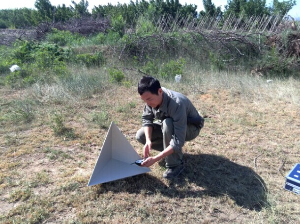
An engineer is adjusting the angle of the calibrator.
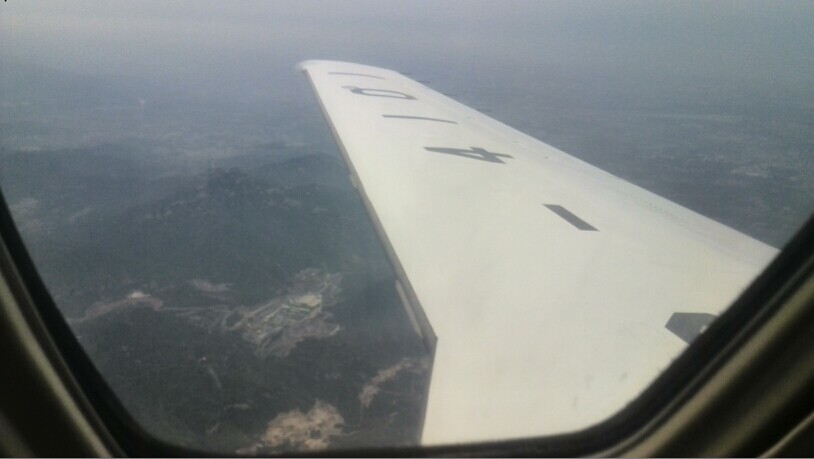
A plane is conducting an experiment.