As the only national key laboratory in this field, the State Key Laboratory of Remote Sensing Science focuses on: developing fundamentals of remote sensing science by examining mechanisms underlying the interactions between all-band electromagnetic wave and ground objects, and radiation transfer models in remote sensing; establishing a comprehensive, multi-source monitoring and simulation platform for the Earth system by developing advanced technologies of remote sensing data acquisition and processing, and quantitative remote sensing inversion approaches; and offering scientific support to the studies of the key cycle systems on Earth, and promoting the development of Earth system science and space science and technology in China by exploring fundamentals concerning the application of quantitative remote sensing in the monitoring of energy, water, and carbon cycles.
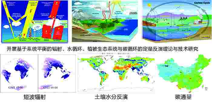
Studies of energy, water, vegetation, ecosystem and carbon cycle.
Major Research Directions
1. Radiation transfer mechanism in remote sensing
Developing and improving models and mechanisms of radiation transfer for different ground targets on different scales, so as to build a simulation platform for all-band remote sensing of complex landforms and environmental conditions.
2. Leading theories and technologies for remote sensing information acquisition and inversion
Developing advanced remote sensing detection, data processing, and information extraction technologies, including multi-angle sensors, polarization, fully polarized multi-band microwave, hyper-spectral sensors, laser radar, high spatial resolution sensors, and wireless sensor networks; and exploring the mechanisms for and approaches to collaborative inversion of multi-source data and building a comprehensive inversion platform for all-band, multi-source remote sensing data.
3. Basic research on geo-spatial information integration and application
Developing the assimilation theory and technology of multi-scale, remotely observed data and land surface process models; and promoting the application of remote sensing in Earth system science and global change studies, so as to build a comprehensive simulation platform of land surface radiation and energy balance, hydrological cycle and carbon-nitrogen cycle, and their impacts on human activities. Research will be conducted into demonstrative applications in the fields such as agriculture, resources, disasters, environment and health; and the integration, simulation visualization techniques for various remote sensing technologies and data and information services.
