With two Citation S/II high-altitude remote sensing airplanes, the Airborne Remote Sensing Center can conduct all-weather flight operations with different remote sensors ranging from aviation cameras, scanners, and imaging spectrometers to imaging radar. It could also conduct flight experiments carrying remote sensors in different ranges of the electromagnetic spectrum (i.e., ultraviolet, visible, shortwave infrared, thermal infrared, and microwave). Therefore, the center has established an operation system that is not subject to weather conditions and that can penetrate clouds and mists with microwave remote sensors, conduct exploration during the night with thermal infrared remote sensors, and produce high-resolution images.
For the past 27 years, the planes have undertaken more than 100 various remote sensing application projects with more than 8,000 sound flight missions, covering more than two million square kilometers. Among the airborne remote sensing tasks they have accomplished were those for post-quake conditions in Wenchuan and Yushu, dynamic monitoring of 2008 Olympic venues, and surveys of the headwater region of the Yellow River in the Qinghai-Tibetan Plateau. They also conducted several flight tests for high-resolution airborne SAR system applications, and topographic mapping using airborne SAR. Therefore, they have provided important support and guarantees for the demonstration and design of spaceborne and airborne remote sensors, the improvement of remote sensing technologies, the calibration and validation of remote sensing data, and experiments with remote sensing technologies.
The Airborne Remote Sensing System, a national key S&T infrastructure project underway, will be equipped with two remote sensing airplanes and a dozen advanced remote sensing facilities and high-performance ground data processing systems. It will be China’s state-of-the-art airborne remote sensing system by integrating a dozen advanced high-performance remote sensing devices, such as a high resolution linear array, digital aerial camera with plane array, high-resolution polarimetric interferometric SAR, multi-band and fully polarimetric SAR, and Environmental Atmospheric Composition Detecting System.
Final Goals: by developing first-class remote sensing facilities, we are working hard to create an effective technological approach for China’s research into Earth system science, an airborne experimental platform for advancing China’s remote sensing information science, and technology and a science data source for China’s information technology development, therefore promoting the industrialization of remote sensing facilities and data in this country.

High-altitude remote sensing airplanes.
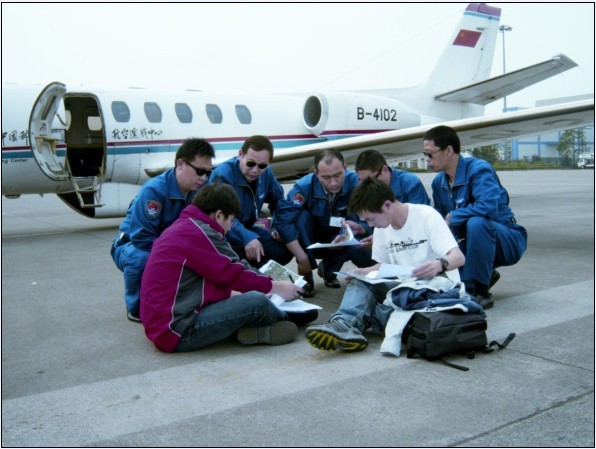
A flight is planned.

