From December 11 to 13, 2017, the High-level Workshop on Big Earth Data was held at Sanya Campus of Chinese Academy of Sciences (CAS) Institute of Remote Sensing and Digital Earth (RADI). Sponsored by the CAS Strategic Priority Research Program (SPRP)“Big Earth Data Science Engineering Project” (hereinafter referred to as “CASEarth”), co-organized by International Society for Digital Earth (ISDE), “Digital Belt and Road Program(DBAR)”, CAS-TWAS Center of Excellence on Space Technology for Disaster Mitigation(SDIM), this workshop was aimed to discuss the concept and scope of Big Earth Data, exchange relevant experience on the use of Big Earth Data in science and technology, as well as solutions and demonstration, explore major methodologies, key technologies, and platforms that feature Big Earth Data, identify the main challenges, bottlenecks and future development of Big Earth Data, and facilitate the overall implementation of CASEarth. About 20 experts from China, United States, Australia, Germany, Italy, Austria and EU attended the workshop.
At the opening ceremony, GUO Huadong, Chief Scientist of CASEarth, gave an opening address and delivered a keynote presentation entitled “Big Earth Data: A New Frontier in Earth and Information Sciences”. He pointed out that big data is a revolutionary innovation that has allowed the development of many new methods in scientific research. This new way of thinking has encouraged the pursuit of new discoveries. “Big Earth data”, derived from, but not limited to, Earth observation, has macro-level capabilities that enable rapid and accurate monitoring of the Earth, and is becoming a new frontier contributing to the advancement of Earth science and significant scientific discoveries. He stressed that CASEarth will explore a new paradigm of scientific discovery involving big data-driven multidisciplinary integration and global collaboration, and it will constitute a major breakthrough in Earth systems science, life sciences and related disciplines. It is involving domestic and international scientists in research, producing discoveries in the Earth sciences and supporting government decisions.
Dr. Ghassem Asrar, Director of Joint Global Change Research Institute of the Pacific Northwest National Laboratory, gave a presentation entitled “Managing Earth System Big Datasets and Enhancing Their Use”. He illustrated that understanding complex interactions of humans and natural Earth systems requires sustained long-term observations. Big Earth Data will play a crucial role in the scientific research of the Earth system, and it will help address sustainable development issues encountered by the mankind. He pointed out that Big Earth Data offers great opportunities for scientific discovery, technological innovations, decision support, for digital economy and societal benefits, and social well-being. It is necessary to enhance data integration and information fusion, not only for data acquisition, simulation modeling and analytical application capabilities, but for integration of systems and platforms. He proposed that international cooperation should be strengthened, while the development of Big Earth Data should be achieved in multi-pronged manner in the realm of science, technology and engineering.
This workshop featured two keynote speakers on topics of vital interest, four high level sessions of eleven presentations on a wide spectrum of topics, and the productive discussion. The topics covered a variety of disciplines including “Big Earth Data vision, including concept and scope of Big Earth Data”, “Methodology, key technologies and platforms that feature Big Earth Data”, “Use case for Big Earth Data in science and solutions and demonstration” and “Potential challenges, obstacles and future development of Big Earth Data”. Participants hold a unanimous belief that Big Earth Data is an interdisciplinary research, and it is becoming a new frontier contributing to the advancement of Earth science and significant scientific discoveries. As a complicated and comprehensive system, the Big Earth Data Platform should establish synergy for data and information, researchers and users, key technologies and engineering construction; implement interoperability among subsystems; construct an open data structure; and form a whole-process quality control mechanism. Big Earth Data is the new big data-driven, multidisciplinary, globally collaborative paradigm of scientific discovery, it is supposed to achieve data standardization, develop an open data policy, and build a cloud platform characterized by high compatibility, wide applicability and high reliability. Big Earth Data is becoming a new key for understanding the Earth and the new engine for conducting Earth science. It will facilitate interdisciplinary scientific research, promote scientific discoveries, enhance technical innovations, and provide reliable support for global sustainable development.
Participants included ZHAO Tao from CAS Bureau of Science and Technology for Development, and representatives from CASEarth planning group, technical group, scientific emergency group, data sharing principle group and satellite review group.
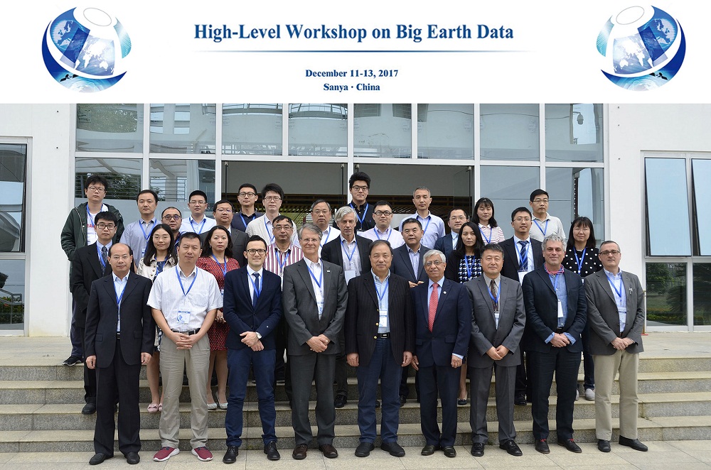
Group photo.