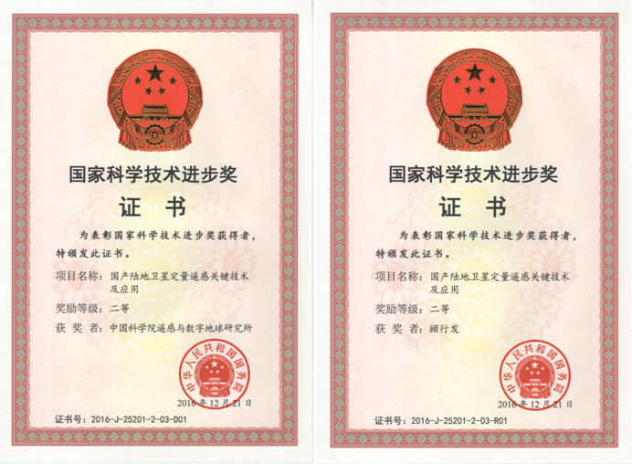
At the 2016 Conference for National Science and Technology Awards was held in Beijing on January 9, the research into “Key technologies and applications of quantitative remote sensing for homemade land satellites", whose first accomplishing unit is the Institute of Remote Sensing and Digital Earth (RADI) of Chinese Academy of Sciences (CAS) and whose first accomplishing person is Prof. GU Xingfa, won the Second Prize of National Science Progress Award (Social Benefit).
The research was jointly made, with RADI as the leader, and with the joint efforts from China Center for Resources Satellite Data and Application (CRESDA), China Aero Geophysical Survey and Remote Sensing Center for Land and Resources, the Institute of Agricultural Resources and Regional Planning of Chinese Academy of Agricultural Sciences, Satellite Application Center of Xinjiang Uygur Autonomous Region, Satellite Environment Application Center of the Ministry of Environmental Protection, China RS Technology Group Co., Ltd, Twenty First Century Aerospace Technology Co., Ltd., and Zhejiang University. Targeting the problem of low levels of quantitative applications of homemade land satellites, they finally resolved the key technologies for homemade land satellites, namely improvement of the data quality, quantitative remote sensing inversion under complex and changeful environmental conditions in China, and large-scale engineering treatment for quantitative remote sensing, and built the quantitative remote sensing technology system for homemade land satellites after more than ten years of hard work in order to meet the industrial and regional needs for quantitative remote sensing applications and realize efficient utilization of homemade land satellites.
The research has been promoted and applied in 18 industries, such as the land and resources industry, 11 Chinese regions, such as Beijing, Tianjin and Hebei, and 43 countries and regions in the world, which has achieved the great-leap-forward development of the quantitative application of homemade land satellites, greatly pushed forward the multi-satellite and multi-field integrated application of homemade land satellites, and produced huge social and economic benefits and international influence.
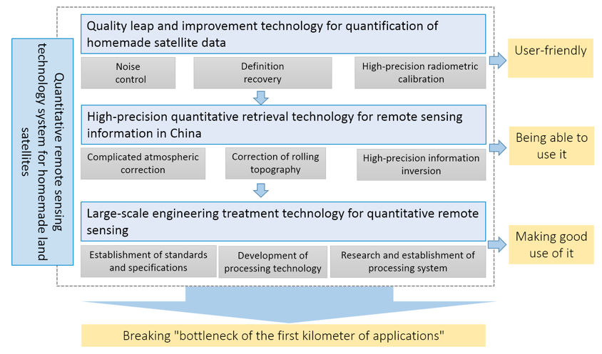
Quantitative remote sensing technology system for homemade land satellites.
Honor certificate.