The CBERS-4 of the China–Brazil Earth Resources Satellite Program was launched successfully on December 7, 2014. Its first-pass remote sensing image data was received during its 15th orbit at 10:44 on December 8 by Miyun Ground Station of the China Remote Sensing Satellite Ground Station hosted by RADI. Then the data was displayed on the operation management system of the Beijing Headquarters 100 km away from Miyun. It is the first time that China realized real-time display of the first-pass satellite image data.
Started in the 1980s, CBERS program has received support from the governments and leadership of the two countries. It boasts a good example for South-South S&T cooperation with significant and extensive international influence. The platform of CBERS-04, a new stage of technological cooperation between the two countries after CBERS-01, 02A and 02B, was built mainly by Chinese researchers and its payloads were developed by a joint team of Chinese and Brazilian researchers. The satellite has five information channels with four payloads. Of them, the PAN payload makes five-channel parallel data downlink transmission, which raises technical difficulty for data reception of the ground system.
The nationwide ground station network for land observing satellite data, which is responsible for receiving data from CBERS-04, is composed of the three RADI stations at Miyun, Kashi and Sanya and the Headquarters in Beijing. As an important national geo-spatial-information infrastructure, it also receives data from a dozen other Chinese or foreign satellites, including HJ satellites and ZY-03 series.
Several technological breakthroughs have been made regarding the data reception of CBERS-04, including automatic generation and implementation of the plan for receiving first-pass remote sensing data, real-time processing of first-pass five-channel high-resolution remote sensing data, real-time long-distance transmission and broadcasting of first-track remote sensing data, marking a new advance of China’s remote-sensing data reception technology. They played an important role in real-time monitoring of the healthy status of the satellite-facility links and remote-sensing quick response.
To ensure the successful reception of the first-pass data from CBERS-04, RADI has made thorough preparations beforehand in terms of teamwork development, debugging and self-testing of equipment, system-wide testing and logistics. In addition, several emergency plans were made to address three technological risks such as first-pass satellite tracking, establishment of satellite-facility data links, and real-time satellite data processing. The other two RADI stations in Kashi and Sanya received the first batch of CBERS-04 data and quick-look imaging at 10:48 and 12:25 on Dec. 8, respectively.
The remote-sensing image products of CBERS-04 will be used widely in different fields, including the monitoring of land resource changes and updating nationwide land-use map; farmland area measurement and the estimation of forest stock volume, crop growth and yield, livestock carrying capacity of meadow and its yearly changes; natural disasters and anthropogenic hazards monitoring; rapid discovery of damages made by floods, earthquakes, forest fires and sandstorms; dynamic report of coastal development in terms of economic progress, beach utilization, aquiculture and environmental protection; and the identification of resource areas such as gold, oil, coal and building materials and the exploration of underground resources for the reasonable development.

Real-time display of the first-pass satellite image from CBERS-04 (Miyuan Station).
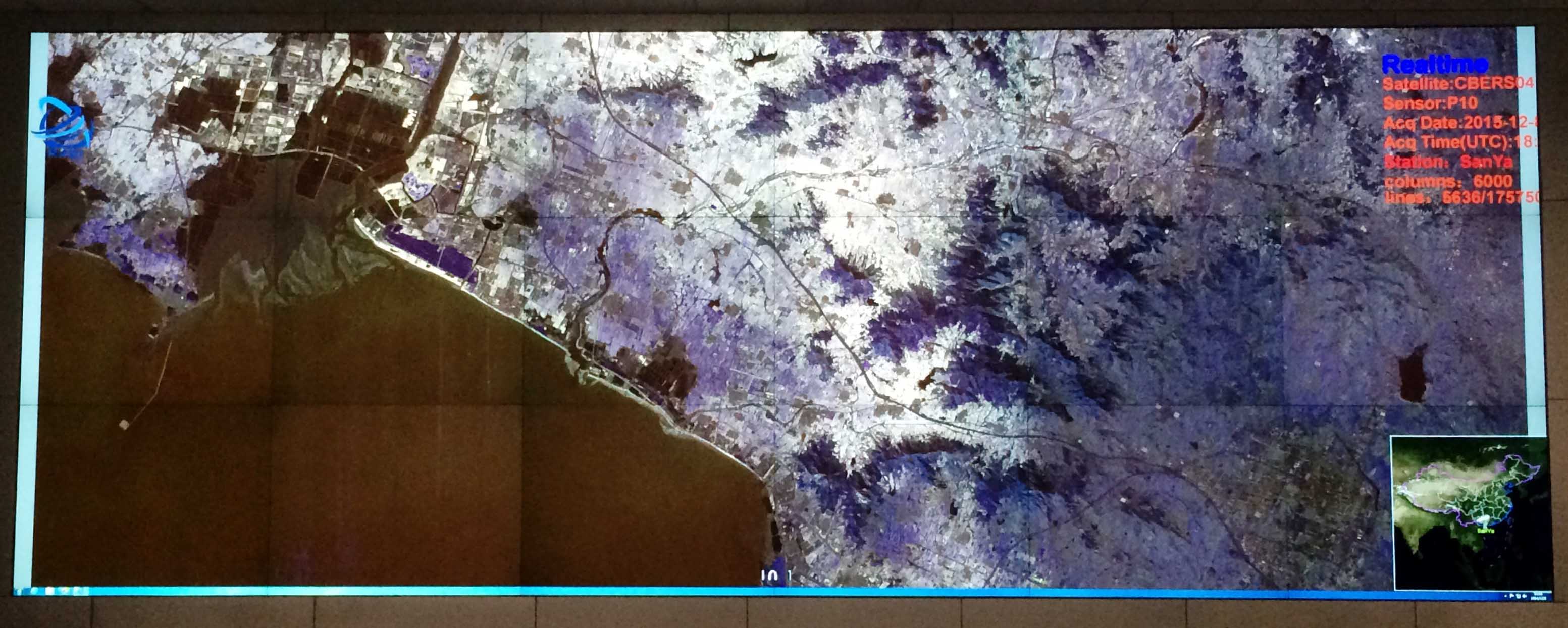
Real-time display of the first-pass satellite image from CBERS-04 (Sanya Station).
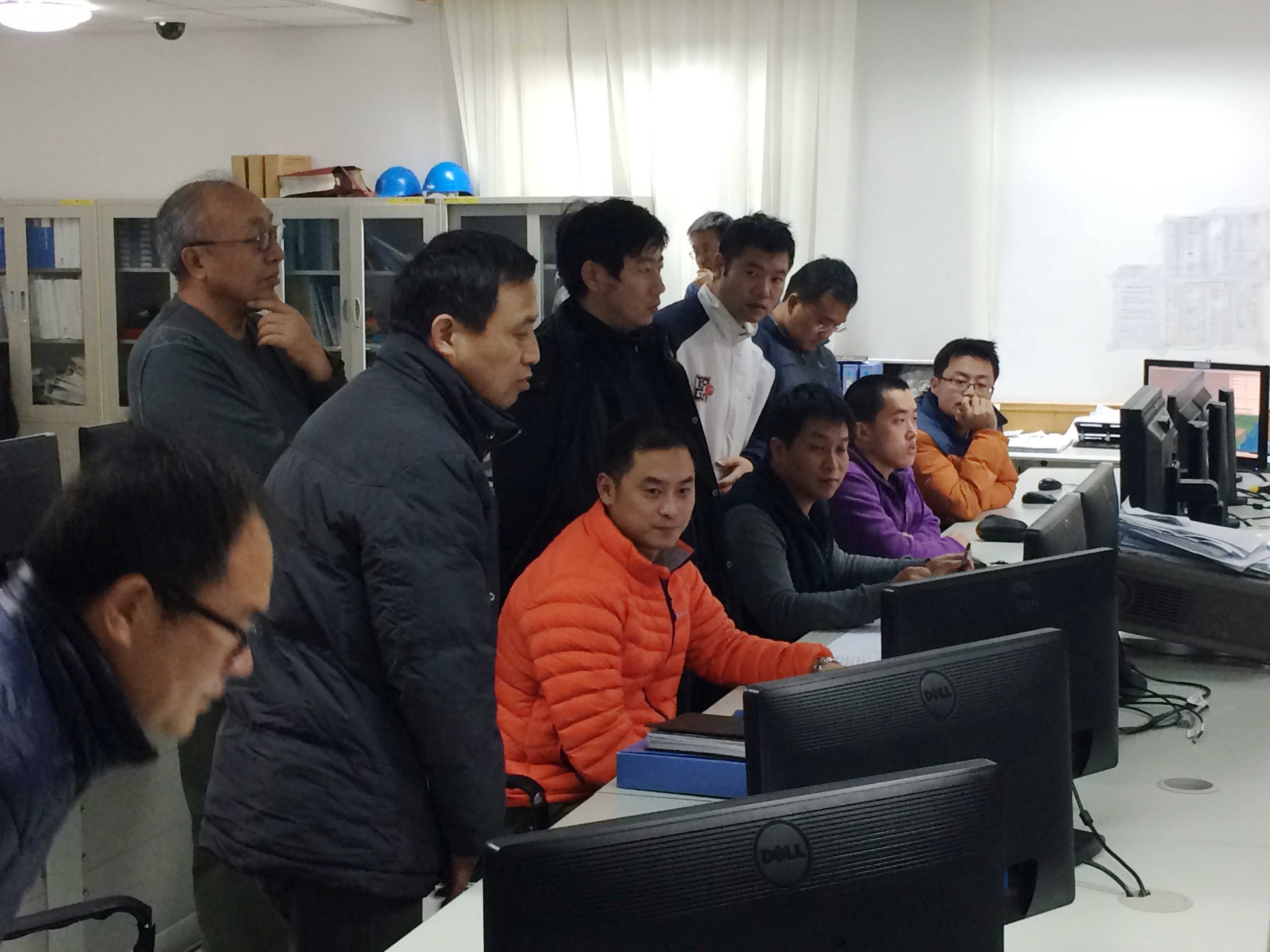
Researchers and technicians work at Miyun Station.