Commemorating the 50th Anniversary of Remote Sensing
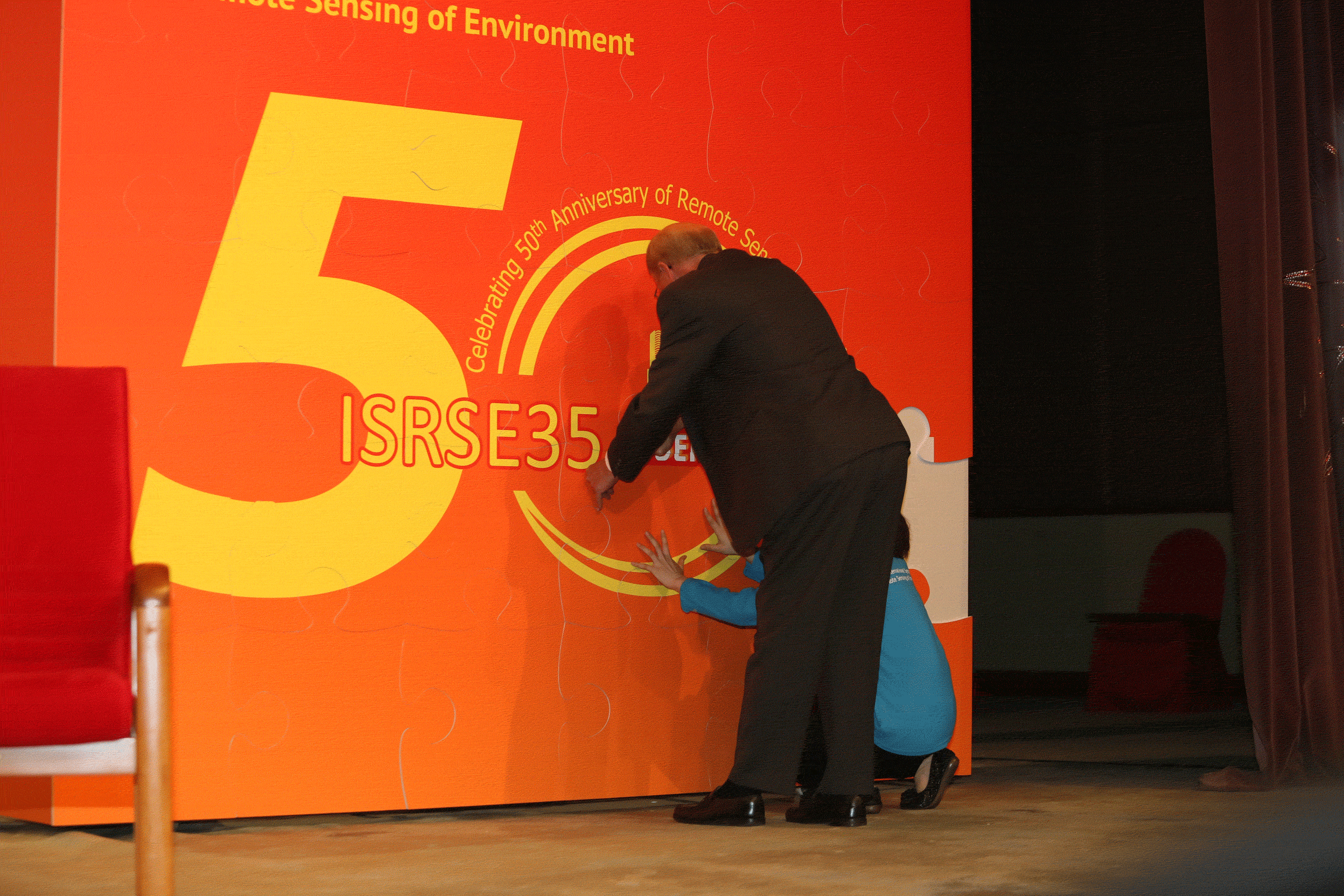 With the theme “Earth Observation and Global Environmental Change,” the meeting was hosted by the CAS Institute of Remote Sensing and Digital Earth (RADI). This was the first time the symposium took place in China. To commemorate the footprints of remote sensing’s advancements over the past 50 years, Prof. Guo, who is also Director-General of RADI, invited guests to put together pieces of a jigsaw puzzle to rebuild a complete logo for the symposium.
Back in 1962, the first ISRSE convened in Ann Arbor, Michigan. It brought together scientists from around the world to exchange technical information on an emerging technology called remote sensing, a technology that provided the capability to view the Earth from high-altitude aircraft and, ultimately, spacecraft. Over the past five decades, as an important means for human beings to monitor the planet and the environment they depend on for existence, remote sensing has made important contributions to their sustainable development.
The five-day conference acted as an important international platform for scientists to share information on the development and application of remote sensing technology and to expound the ways to address global change. At the same time, the meeting reviewed the progress of remote sensing over the past 50 years and showed directions for its future development.
Drawing Close Attention from High Officials and Academic Leaders
Also present at the opening ceremony were senior officials including Mr. WANG Qinmin, Vice Chairman of the National Committee of the Chinese People’s Political Consultative Conference (CPPCC) and President of All-China Federation of Industry & Commerce (ACFIC), and CAS President BAI Chunli.
Mr. Wang, who is also a member of the International Academy of Sciences for Europe and Asia, extended congratulations to the symposium on behalf of CPPCC and ACFIC. He said that the Chinese government and S&T community give a high priority to the development of space technology with remote sensing as its main component, its interdisciplinary research and related innovation, and increasing their support to the studies of global change, resources and the environment, and Digital Earth.
Prof. Bai, who is also President of the Academy of Sciences for the Developing World, spoke highly of ISRSE 35. He gave an account of CAS’ leading role in China’s S&T development, its “Innovation 2020” program, and development strategy. He said that RADI has become a leading force in China’s remote sensing technology and applications, which will be conducive to upgrading China’s competency in the field and serving socioeconomic growth.
Mr. Xu, Chair of the International Steering Committee of ISRSE35, and Prof. Per Erik Skrovseth, Co-Chair of its Technical Program Committee, also delivered speeches, elaborating the development and achievements of Earth observation technology and applications in China and the world, respectively. Both of them recognized the rapid progress of RADI in the research and application of remote sensing technology.
Other invited speakers included Secretariat Director of the Group on Earth Observations (GEO) Dr. Barbara Ryan, President of the International Society for Photogrammetry and Remote Sensing CHEN Jun, and a representative of the International Society of Digital Earth, Frederick Campbell. They briefed the audience on the development of their organizations and the roles of these organizations in the development of remote sensing.
Mr. Achim Steiner, UNEP Executive Director and Under-Secretary-General of the United Nations, briefed the audience on the nuts and bolts of UNEP and its research programs in his video talk at the conference, emphasizing the important role of satellite remote sensing technology in global environment planning.

Mr. WANG Qinmin addresses the opening ceremony of ISRSE35.
 Prof. BAI Chunli speaks at the opening ceremony of ISRSE35.
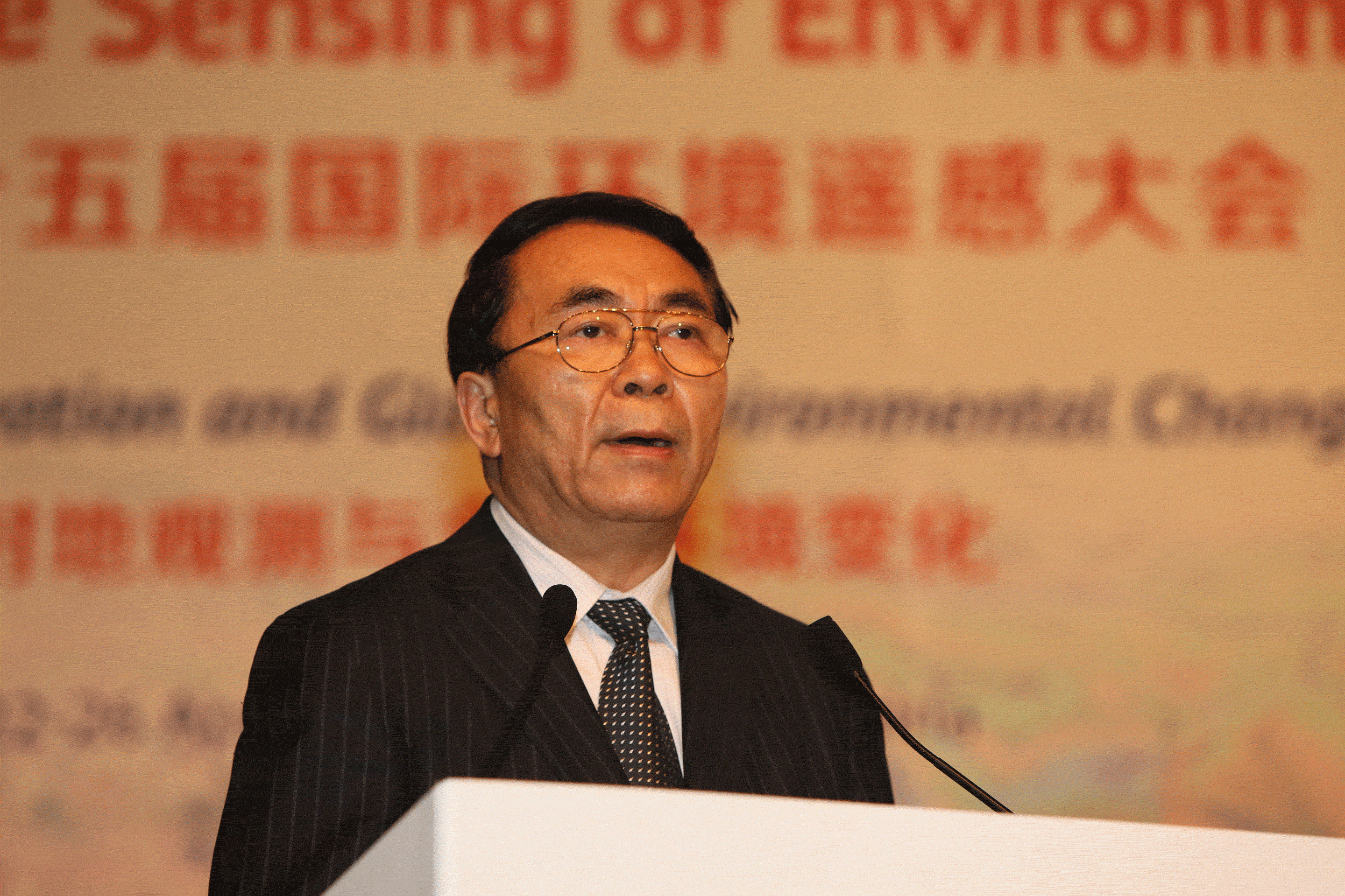
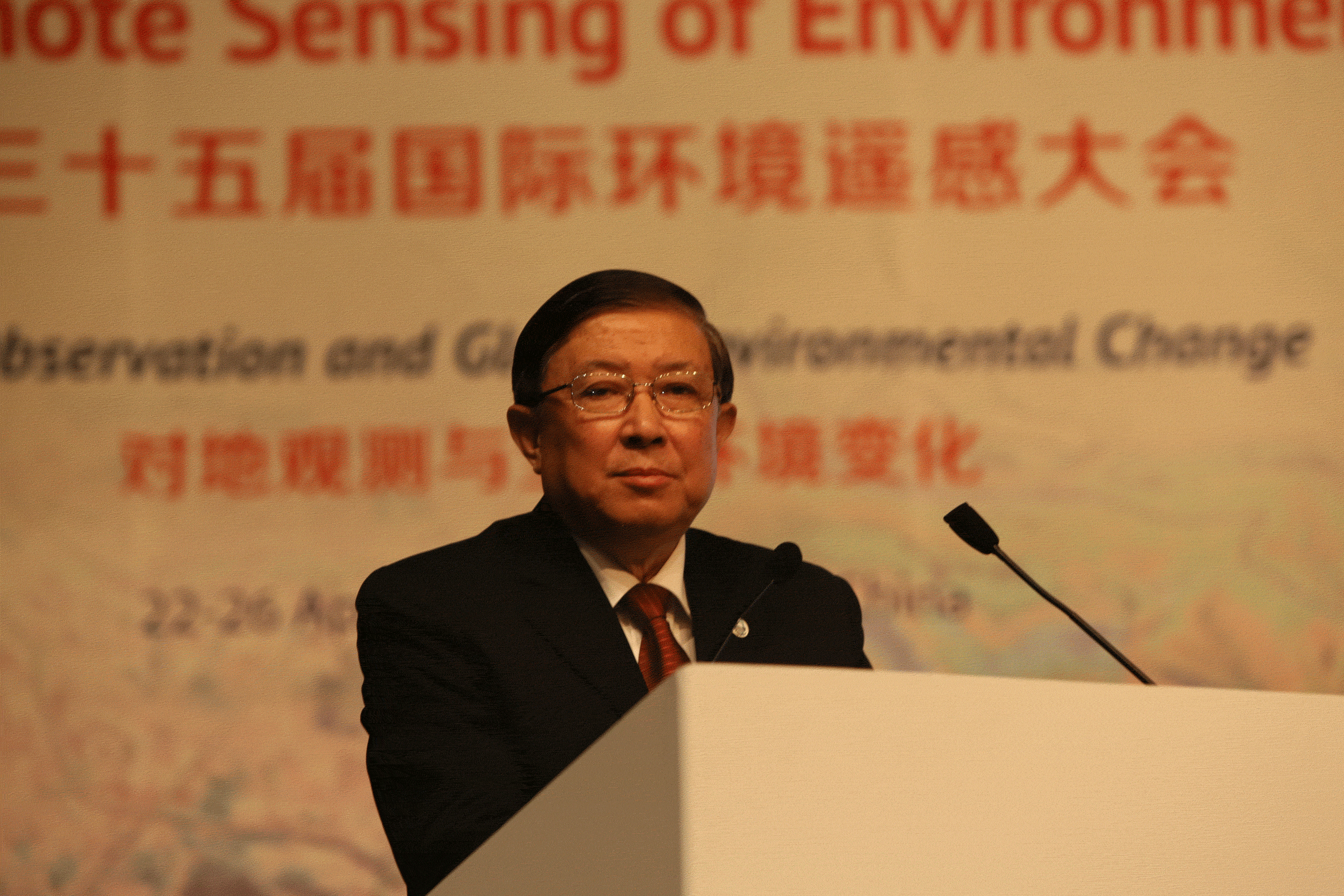 Prof. XUN Guanhua delivers a speech at the opening ceremony.
Conducting Fruitful Academic Exchanges
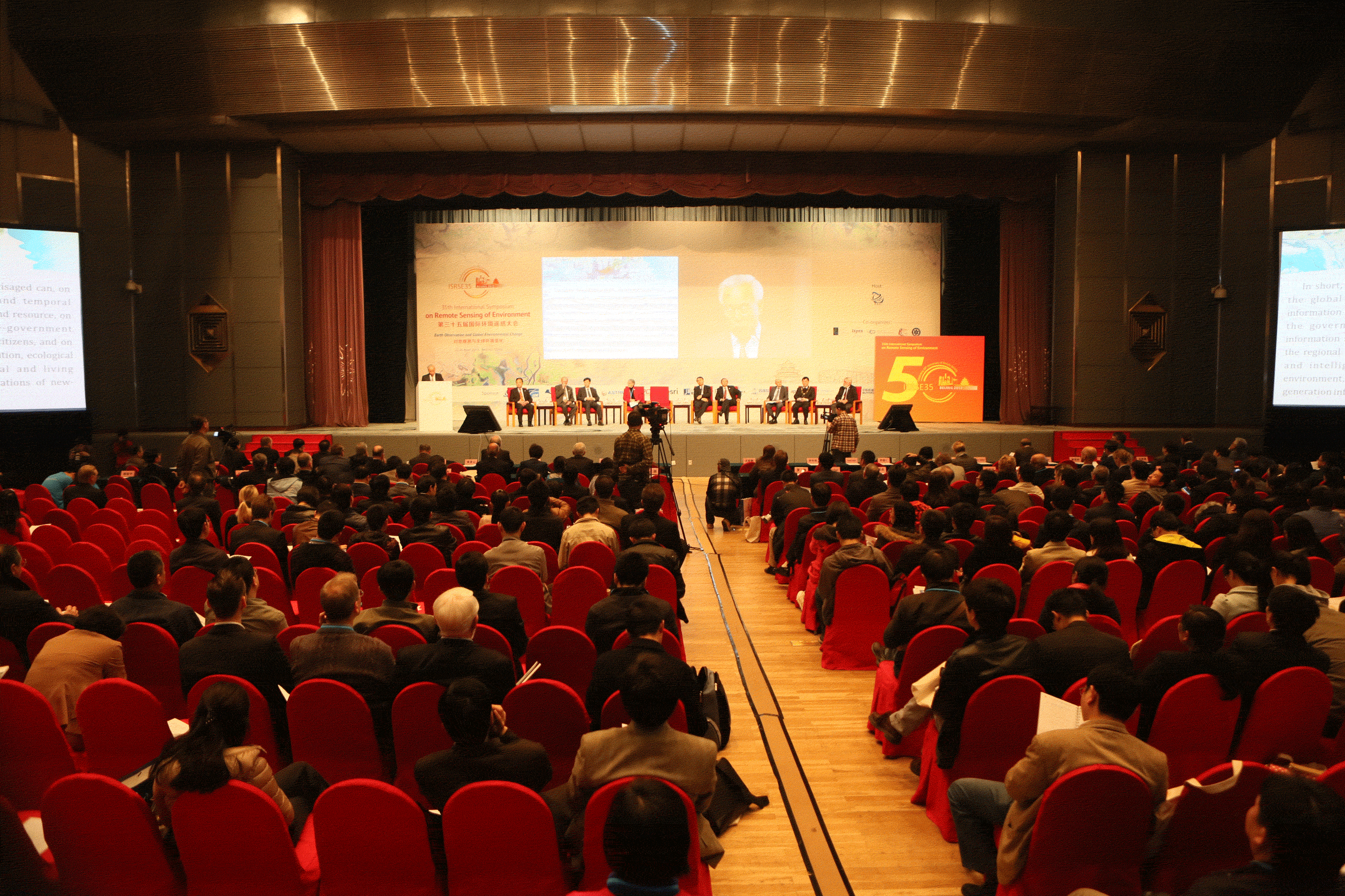
During the five-day meeting, there were 18 invited plenary reports, 346 oral panel reports and more than 400 posters, focusing on subjects including: climate change and atmosphere; agriculture (food crisis and reducing poverty and hunger); forests, ecosystems, and biodiversity; disaster reduction and response management; coastal and marine resources and dynamics; water resources; urban environments; world heritage; health and well-being;energy and geological resources; airborne remote sensing; Digital Earth; data and information systems and spatial database infrastructure; national, regional, and international programs and applications; and remote sensing education, capacity building, and popularization.
On the morning of April 23, keynote speakers at the “International Space Agency Programme” plenary session included Dr. Stephen Brigg from the European Space Agency (ESA), Dr. Gunter Schreier from the German Remote Sensing Data Center, Dr. Douglas Bancroft from the Canada Center for Remote Sensing, and Dr. Anond Snidvongs from the Thai Geo-Informatics and Space Technology Development Agency. They gave talks on, respectively, ESA’s observation program; mapping global change: big data and Earth observation; harnessing space-based Earth observations for public-good decision making: selected Canadian experiences; and delivering values from space: Thailand Earth Observation System Phase 2 (THEOS-2).
On the morning of April 24, keynote speakers at the “Earth Observation for Climate Change and Global Environment Research” plenary session included: Dr. Simon Eggleston from the Global Forest Observation Initiative, LIAO Xiaohan from the National Remote Sensing Center of China, Dr. Ghassem R. Asrar from the World Climate Research Program, and Mr. ZHANG Wenjian from the World Meteorological Organization. They talked about, respectively, developments of the global forest observation initiative (GFOI); annual global eco-environment monitoring by satellites: China’s contributions; observing, understanding, and predicting the Earth system: foundation for global development; and development of an architecture for climate monitoring from space. At the same time, there were six parallel sessions focusing on subjects including: international mobilization of resources for water beyond the 2013 International Year of Water Cooperation; Global Earth Observation System of Systems (GEOSS): mountain ecosystems; cropland surveys, soil moisture, and soil salinity; LiDAR remote sensing for forests; remote sensing of water cycle-related components; and GlobeSAR 20 (1). In the afternoon, sessions on the Dragon Program and GlobeSAR 20 (2) were held.
On the morning of April 25, keynote speakers at the plenary session on “Roles of Earth Observation in Disaster Mitigation, Terrestrial Ecosystem and Land Dynamic Change” included: Dr. Stephan Lechner from the Joint Research Centre of the European Commission, Prof. Massimo Menenti from the Delft University of the Netherlands, CAS Member LI Deren from Wuhan University, and Alex Held from the Commonwealth Scientific and Industrial Research Organization in Australia. They gave talks on coherent Earth observation: the EU Copernicus system; global monitoring of the terrestrial water cycle vs. information needs for water management; framework design of Chinese national disaster reduction system of systems (CNDRSS); and Australia’s terrestrial ecosystem research network (TERN): building, sustaining, and advancing collaborative long-term ecosystem research networks.
Then there were six parallel sessions on topics including: global and regional mapping and monitoring programs; remote sensing, cropland, and farming systems; Earth observation for water and wetland characterization and dynamics; enhanced detection and urban mapping; status and assessment of terrestrial ecosystems to sequester carbon; airborne remote sensing applications; SAR applications in coastal and ocean monitoring; and advances in data processing and information extraction techniques. Special sessions on GEO disasters and ABCC were also held at the same time.
On the morning of April 26, keynote speakers at the plenary session under the theme of “Remote Sensing Retrospective and Future Prospects” included: Dr. GAO Peng from the Environmental Systems Research Institute in the USA, Dr. Steven Wilson from the International Council for Science; Prof. LIANG Shunlin from Beijing Normal University; and Prof. John van Genderen from the University of Twente in the Netherlands. They gave talks on imagery marketplace: distributing data, services, and apps in the cloud; Future Earth—research for global sustainability; long-term environmental change detection from global land surface satellite (GLASS) products; and reflections on 50 years of remote sensing: looking back, looking forward.
It was followed by eight parallel sessions on topics including: advances in data processing and information extraction techniques; health and well-being; land use and land cover time-series remote sensing analysis; mapping and monitoring coastal zones and coastlines; urban environments; SAR and optical remote sensing data processing and simulation; forest cover dynamic change and deforestation; environment monitoring and ecosystem assessment; mineral exploration and exploring energy sources; and air pollution and atmospheric remote sensing. In addition, special sessions on big data, Future Earth, information extraction, and Digital Earth were also convened at the same time.
The themes of this symposium covered major topics of current remote sensing research and applications, academic progress and focus, exchanges, and future development of Earth observation.
In-depth Discussions on Monitoring Global Change with Remote Sensing
A panel discussion under the theme of “Remote Sensing and Global Environmental Change” took place in the morning on April 23. Chaired by Dr. Mario Hernandez from the International Society for Digital Earth, the meeting invited many renowned experts as panelists, including CAS Member GUO Huadong from RADI, Dr. Barbara Ryan from GEO, Dr. Stephen Briggs from ESA, Dr. Douglas Bancroft from the Canada Centre for Remote Sensing, Dr. Anond Snidvongs from the Thai Geo-Informatics and Space Technology Development Agency, Dr. Gunter Schreier from the German Aerospace Center, Dr. Ghassem R. Asrar from the World Climate Research Program in Switzerland, and Prof. John Townshend from the University of Maryland. They held open and in-depth discussions on the applications of remote sensing technology in global environmental change studies and other focal points of public attention.
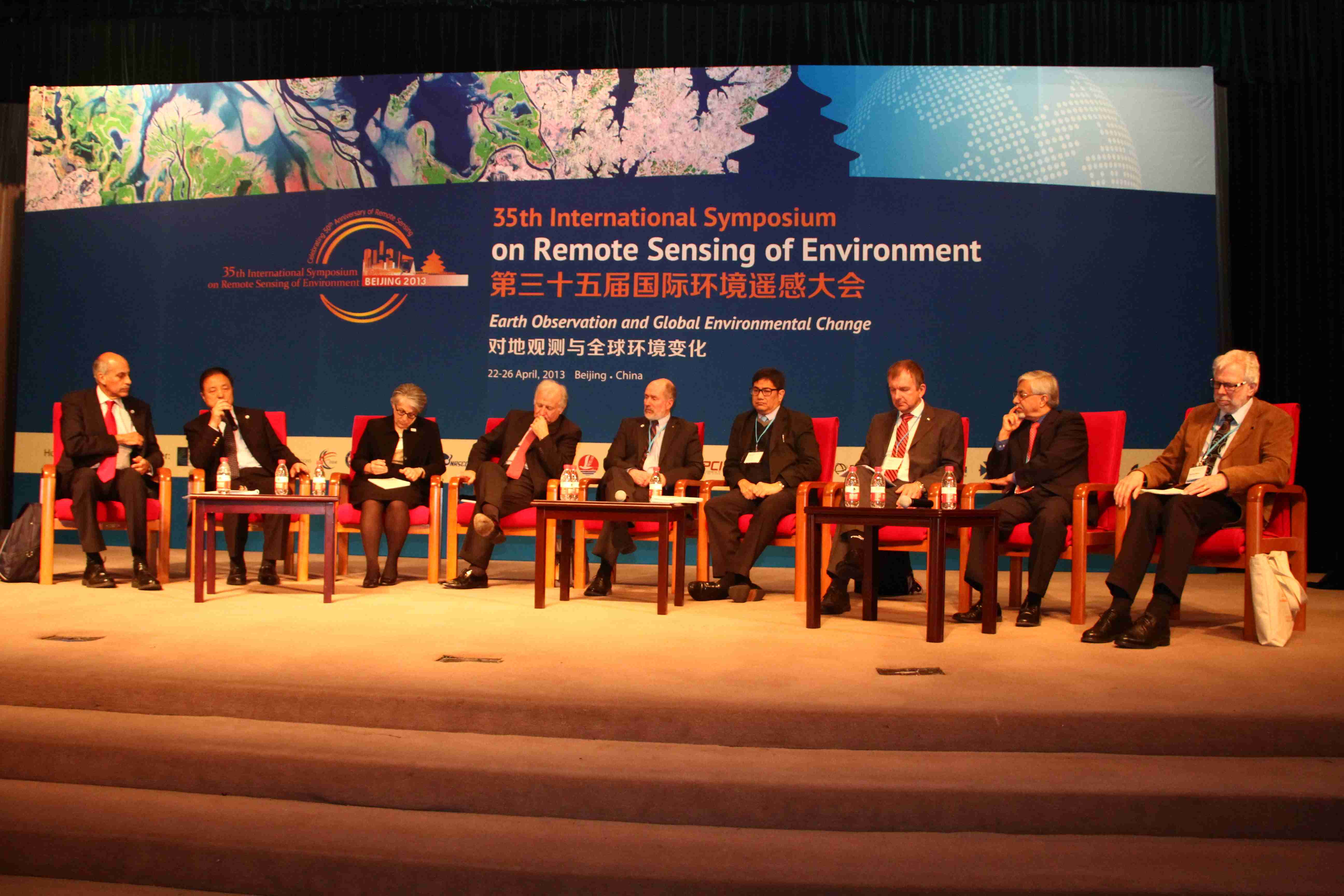
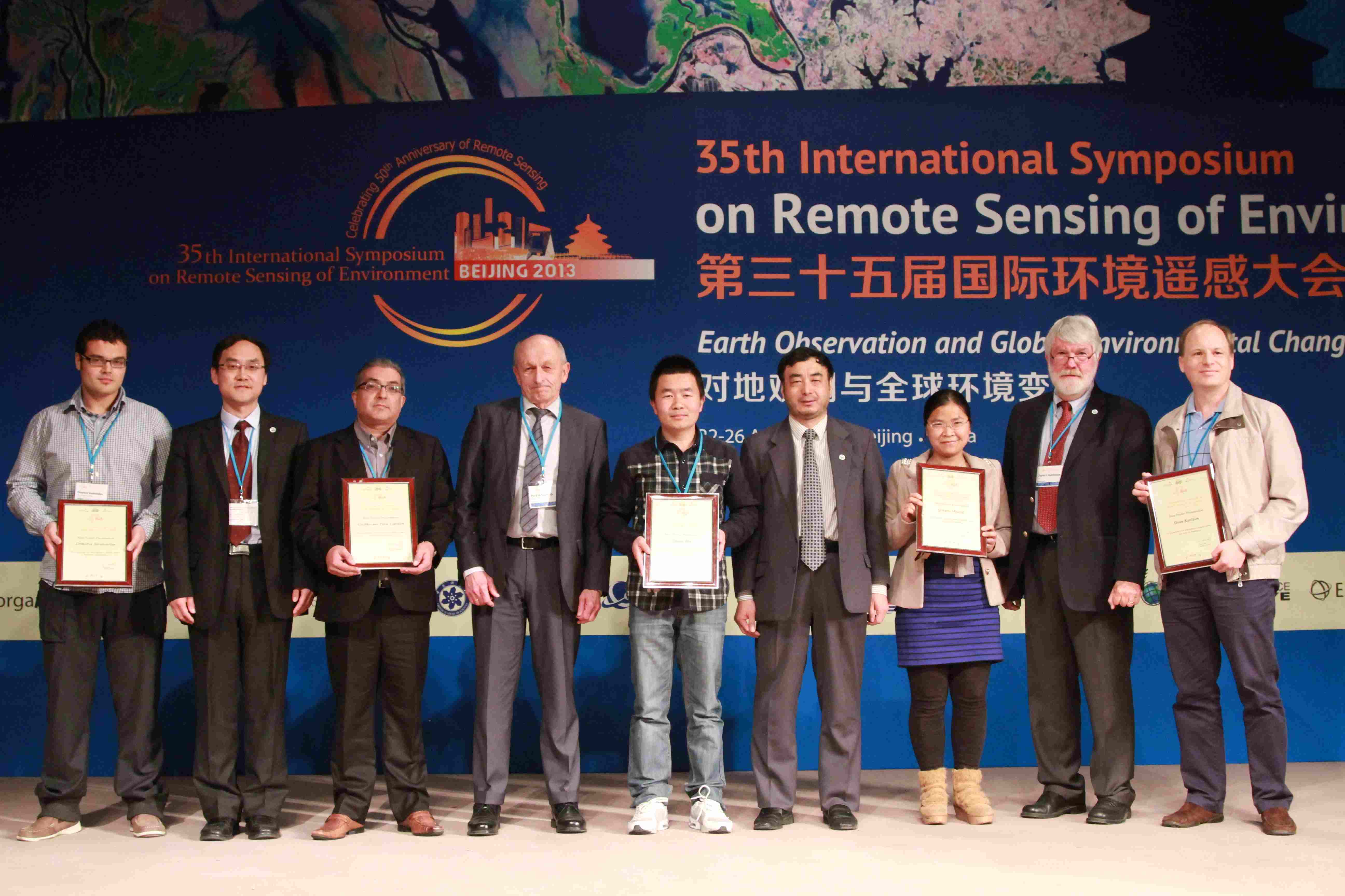
A scene from the Discussion Panel on Remote Sensing and Global Environmental Change.
The panelists also answered questions from the audience on issues including the coordination of government agencies to address global change with remote sensing, efficient utilization of remote sensing data, and user-oriented remote sensing data usage.
Showcasing 50 Years of Remote Sensing Development and Applications
From April 22 to 26, an international exhibition on remote sensing of environment technology and applications was held in conjunction with the symposium. A total of 34 organizations and business firms attended the event to show the significant achievements and future potential of Earth observation technologies with pictures, real objects, and demonstrations.
With more than 1,500 visitors, the exhibition provided a precious platform for exchanges between researchers at home and abroad. It greatly promoted the industrialization of Earth observation technologies and their applications to address global environmental change.
Accompanied by Prof. GUO Huadong, senior Chinese officials, including WANG Qinmin, BAI Chunli, and XU Guanghua, took respective tours of the exhibition.
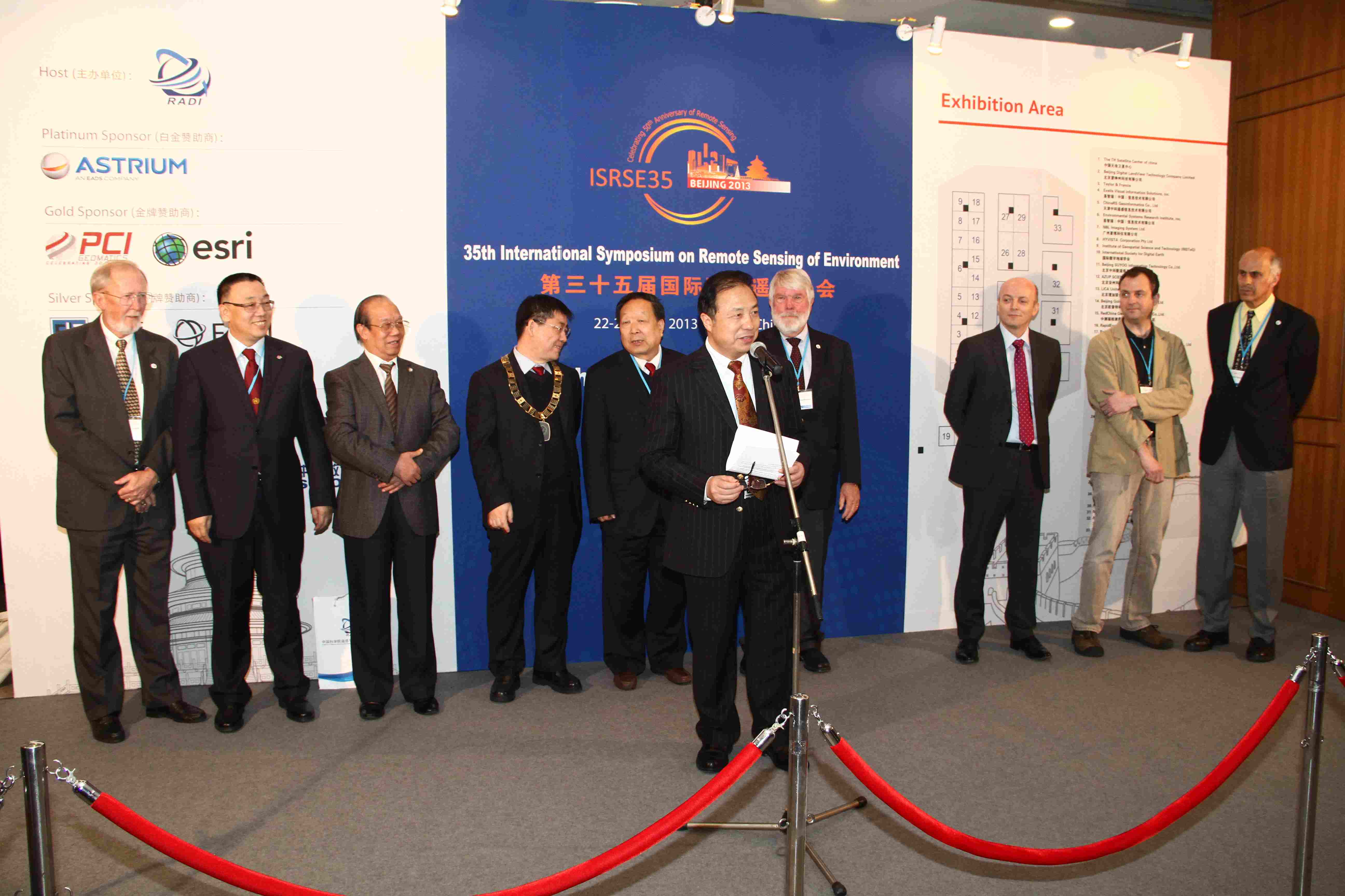
The opening of the exhibition.
Extending Far Reaching Impacts
On April 26, the five-day symposium lowered its curtain. At the closing ceremony, Prof. Charles F. Hutchinson, Director of the International Center for Remote Sensing of Environment, highly praised the conference and expressed his gratitude to participants from across the world and to the host of the meeting. Dr. Barbara Ryan said that in line with social needs, the conference had built up a platform for experts and business firms to showcase and exchange their high-caliber, multi-level achievements.