Right after the earthquake hit Jiuzhaigou County in Southwest of China’s Sichuan Province on the night of August 8, China Remote Sensing Satellite Ground Station (RSGS), a RADI hosting big science infrastructure has started satellite data reception task on the quake region, to ensure in time and accurate data support for disaster assessment rescue efforts.
As of midday on August 10, RSGS has successfully received satellite data on the quake region from China’s satellite series: GF - 1, 2 and 4, with a data transmission rate of 100%.
At the same time, RSGS has been working on the historical satellite data processing on the region before earthquake, and the first batch of pre-earthquake images is available online to the public: ftp://ftp.radi.ac.cn: radi_jiuzhaigou,PSD: radi_jiuzhaigou).
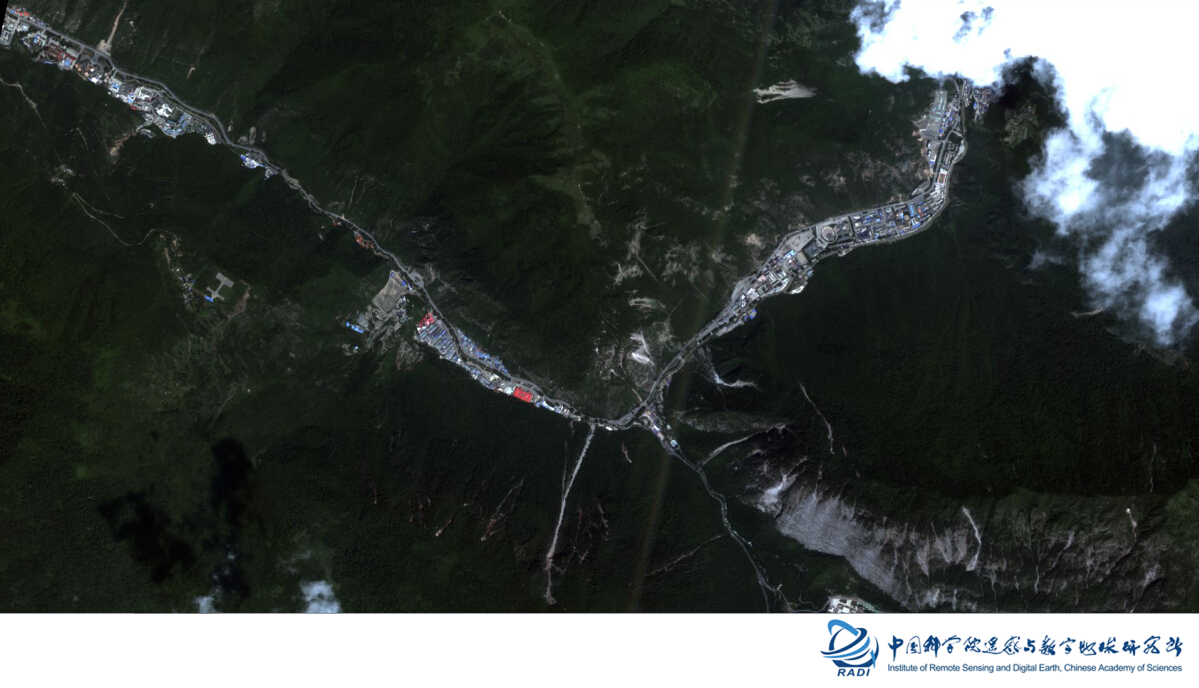
GF-2 Satellite image of the epicenter Zhangzha Town and scenic area, Jiuzhaigou County (August 9, multi-spectral data, 4-m resolution).
GF-2 Satellite image of Zhangzha Town and surrounding area, Jiuzhaigou County (August 9, multi-spectral data, 4-m resolution).

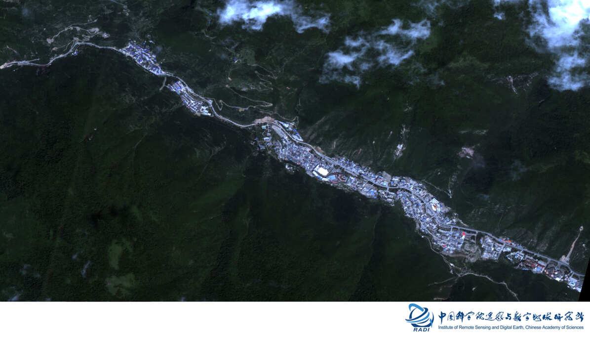
GF-2 satellite image of Songcheng tourist area, Zhangzha Town, Jiuzhaigou County (August 9, full-color data, 1-m resolution).
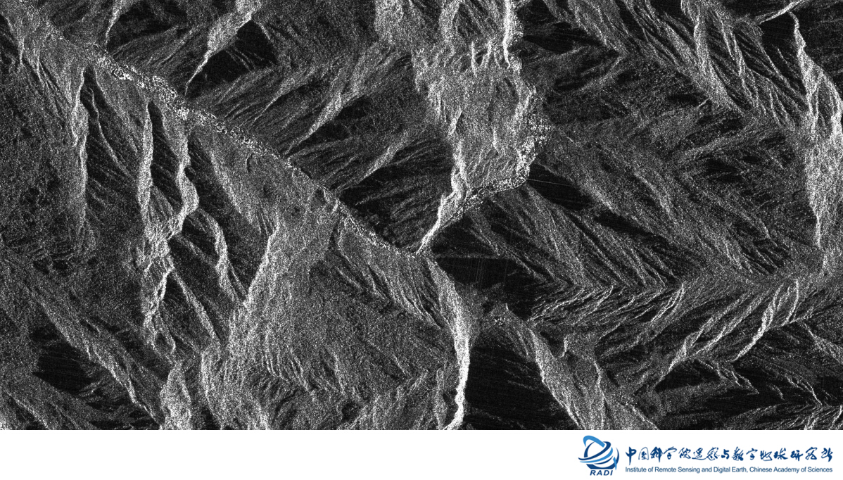
GF-3 Satellite image on Zhangzha Town and scenic area, Jiuzhaigou County (August 10, full-polarization data, 8-m resolution).