RADI will change its service mode so as to better satisfy the needs of users across the country, said Prof. LIU Jianbo,Deputy Director of RADI, at the third session of the First RADI User Committee held in Beijing on February 6.
Presided over by Vice Chair of the User Committee, the meeting brought together nearly 30 members from different sectors and organizations, including land resources, geology, ocean, water conservancy, agriculture, environment protection, mapping as well as Peking University and China Aerospace Science and Industry Group.
After listening to the reports on the progress of RADI operation in 2014 and the Pleiades made by Prof. LIU and Senior Engineering CHEN Jun, respectively, the participants made detailed inquiries about the performance of China Remote Sensing Satellite Ground Station and Remote Sensing Aircraft, two major S&T infrastructures housed by RADI, and the functions and performance of the Pleiades constellation. They urged RADI to give a full play to the two infrastructures, do a good job in coordinating satellites tasks both at home and abroad, extend its cooperation with users both in depth and breadth, and meet the needs of national tasks and users across the country with high-quality operation and satisfactory service.
LIU thanked members of the User Committee for their long-term support, pledging that RADI will further promote its Data Sharing Program, change its service mode from giving priority to paid service to giving first place to public welfare service focusing on data sharing among users across the country, maintain a top-notch operation of the spaceborne and airborne Earth observation system, and offer good service to government departments, industrial sectors and regions.
Over the past 30 years, huge amount of data from the China Remote Sensing Satellite Ground Station and remote sensing aircraft have been used in a variety of fields, including agriculture, forestry, ocean, land resource, geology, urban planning, environment protection and disaster monitoring with their users all over China.
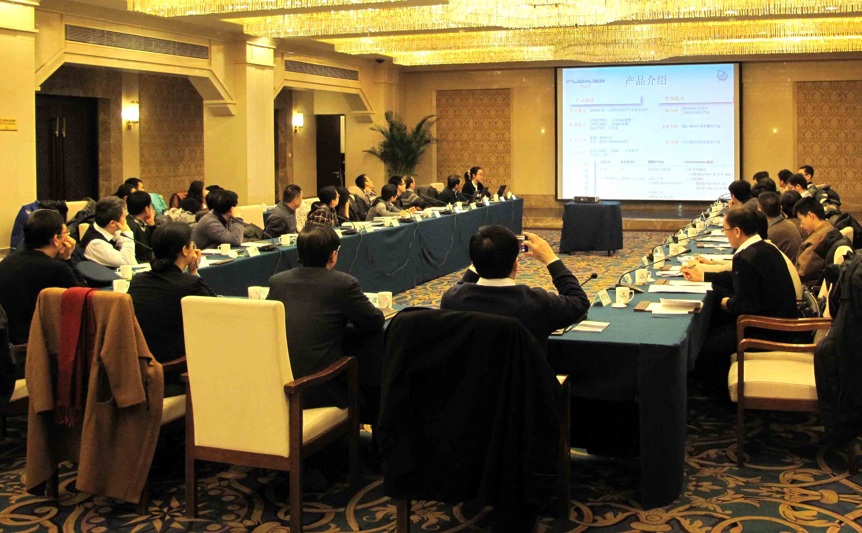
A scene of the meeting.