The Seventh Across - Taiwan Strait Remote Sensing Symposium was held in Qingdao, Shandong Province on October 20. The five-day event is jointly organized by the State Key Laboratory of Remote Sensing Science in partnership with several other research agencies and universities, attracting some 130 scientists across the strait.
The plenary reports on the symposium focus on the land use monitoring, satellite observation of water cycle, the application of GIS to the Intelligent City and the remote sensing observation of land surface evapotranspiration.
Eleven remote sensing related subjects for academic discussion are remote sensing theory and modelling, disaster and environment, snow and glacier, dynamic monitoring of water body, the interaction between land use & land cover changes and human activities, extraction and integration of geo-information, Synthetic Aperture Radar, vegetation and ecology, water cycle, land surface energy balance and atmosphere, and data assimilation and modeling with remote sensing.
As symposium series, so far seven Across-Strait Remote Sensing Symposiums have been held respectively in the city of Yunnan, Taiwan, Guilin, Haerbing, and Qingdao. The symposium series have greatly promoted the academic and cultural exchanges among the scientists across the Taiwan Strait. The next Symposium is scheduled to be held on March 2016 in Taiwan.

A scene of the opening ceremony.
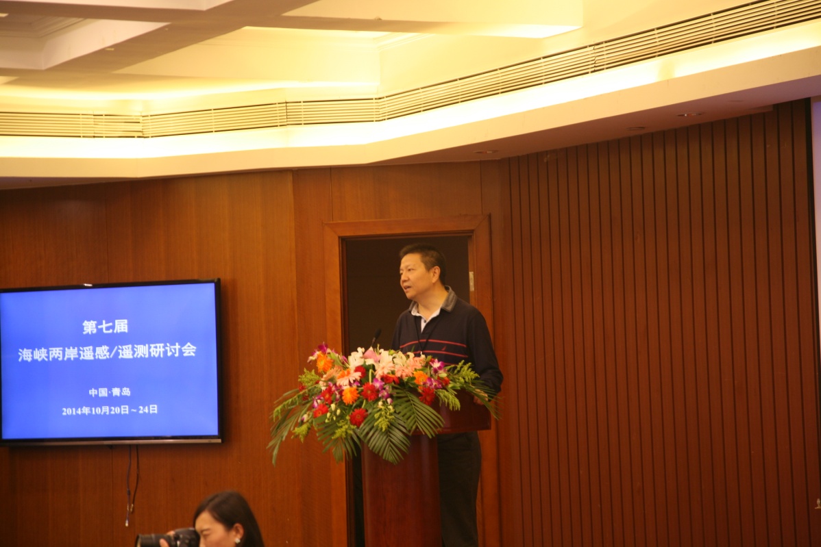
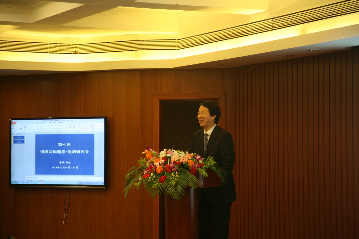
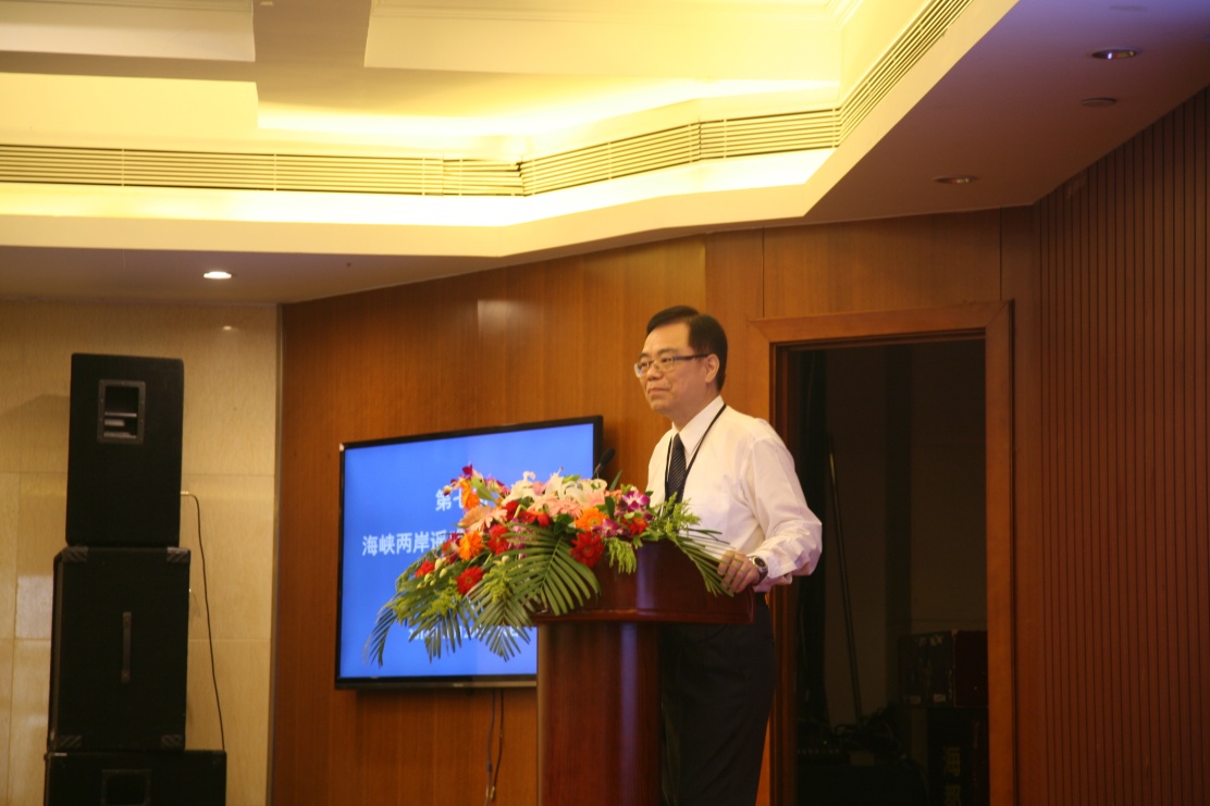
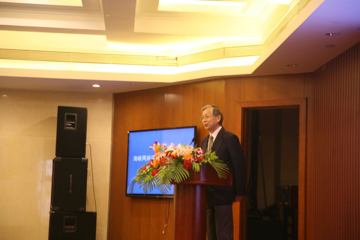
Welcome remarks given by Dr. ZHAO Zhongming, Dr. REN Tingqi, Dr. CHENG Liang-Chien and Dr. YANG Lung-Shih.
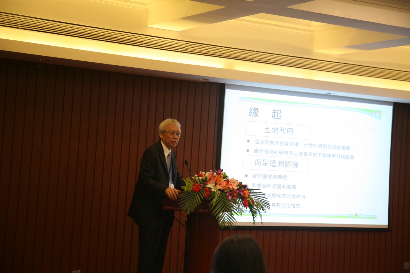

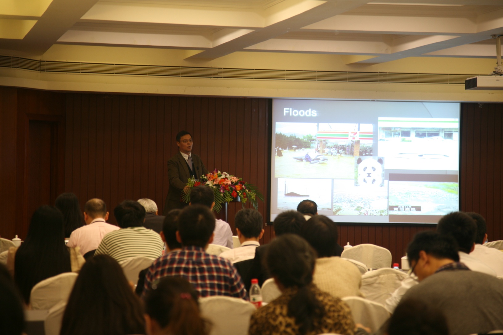
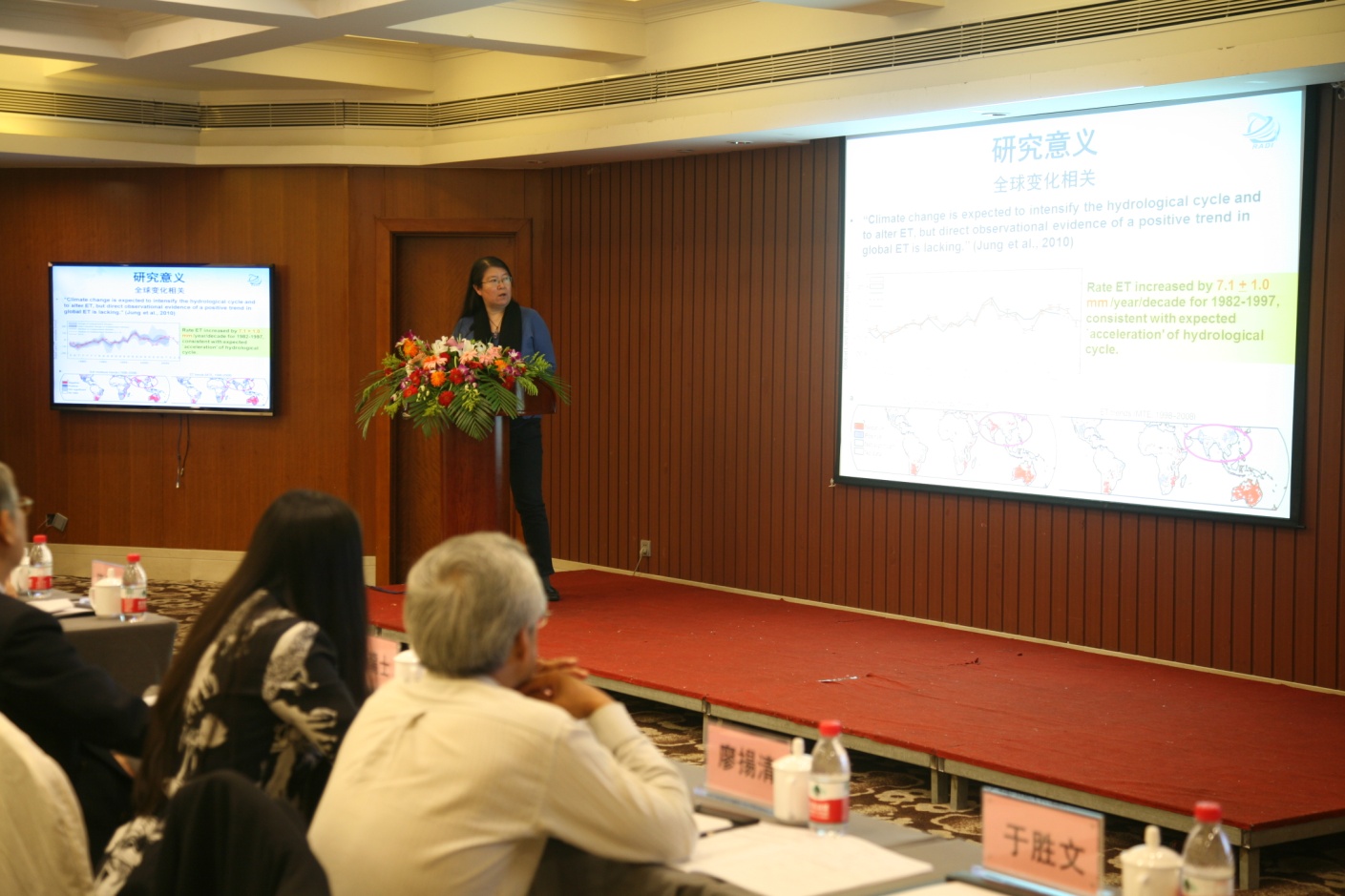
Plenary presentations given by Dr. CHEN Chi-Farn, Dr. SHI Jiancheng, Dr. CHOU Tien-Yin and Dr. JIA Li.