For the second year of the “Remote Sensing for the Environment of the Angkor Site” project, two HIST research fellows from RADI visited Siem Reap, Cambodia, from 3-10 June 2014. Wang Cheng and Chen Fulong were invited by the Authority for the Protection and Management of Angkor and the Region of Siem Reap (APSARA) with the goals of: 1) participating in the 23rd technical session of the International Coordinating Committee for the Safeguarding and Development of the Historic Site of Angkor (ICC), and 2) conducting a field campaign.
During the 23rd technical session of the ICC, which was held in Siem Reap on June 4, Prof. Wang gave a presentation titled “Remote Sensing Focusing on the Angkor Site Environment - Progress and Prospects”. He emphasized the important role of space technology in monitoring and evaluating the Angkor site through case studies of the deforestation, urbanization, surface deformation as well as TaKao temple laser scanning. The report received good responses from the “Ad Hoc Group of Experts for Conservation”. Prof. Mounir Bouchenaki appreciated the effort of RADI and HIST on the sustainable development of the Angkor site and emphasized the significant role of space technology for monitoring it. During the session, Prof. Wang and Prof. Chen exchanged ideas with other participants including Dr. Valter Maria Santoro from Italy and Dr. Damian H. Evans from Sydney University of Australia on such issues as collaboration and data sharing.
A joint field campaign was conducted on June 6-10. The campaign, covering the whole environmental scenario of the Angkor site, focused on the validation of land use and land cover change (LUCC) and surface subsidence derived by remote sensing. According to the previously designed schedule, the campaign lasted for 4 days and covered routes totaling 150 km (north to Phnom Kulen Mountain and south to the wetlands of Tonle Sap Lake). The categories of LUCC on more than 700 sample points were derived, providing valuable ground-based measurements for the validation of remote sensing classification. Moreover, the instability of temples in three core zones and the spatial distribution of pumping wells of Siem Reap city were verified on the spot, which is significant for studying the interaction of temple collapses, surface deformation, and corresponding driving forces.
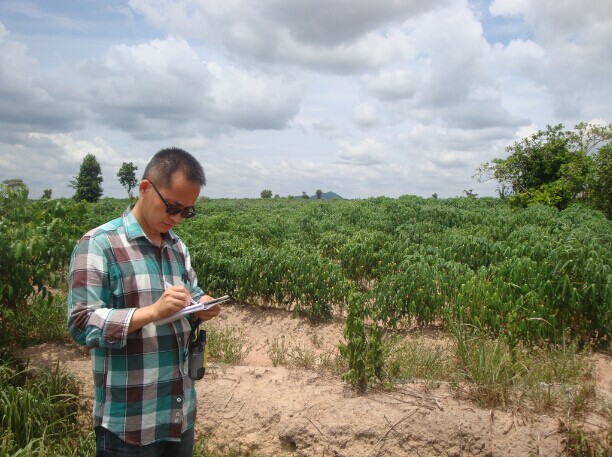
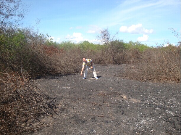
A field campaign is conducted at the Angkor site.